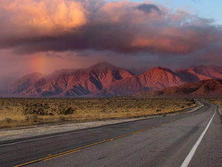
Borrego Hit with Rain
Last updated 1/23/2020 at 12:01pm
It only seems like a lifetime ago we had measurable rain in Borrego. Yes, we live in a desert, and we get only six-inches per year on long-term average. Yet, we've had practically nothing, zip, nada so far this season. Except, that is, for that single, miserly, seemingly accidental ¼-inch rain we had two months ago on Sept. 25. Not exactly monsoon conditions.
That all changed on Saturday Nov. 19, when the afternoon skies darkened, opened up, and gave us a nice soaking. Folks who attended the girls' soccer game over at the Borrego Springs High School field after 3 p.m., and who didn't have an umbrella or someplace to hide, got drenched. Unlike for baseball, soccer is played during any weather conditions, including a torrential rain but something short of a ferocious lightning storm.
Depending on where you were on that Saturday afternoon and into the evening, it ranged from just over an inch around town, to an inch of rain up at UCI's Desert Research Center, to nearly three-inches over in Clark Dry Lake.
The skies cleared overnight but rains came back on Nov. 20. Not a driving rain causing major flooding, mind you, rather more needed rain to soak the ground and put wildflower seeds on notice to get ready for Spring.
And now, here it comes – speculation about another Super Bloom. Periodic rains interspersed between sunny days from now until late-February and early-March, without overnight frost during critical seed germination and/or flowering time, could portend another wildflower explosion. Only Mother Nature will decide when and how many wildflowers first make their debut.
And Mother Nature includes Solar activity, specifically sunspot activity. Computer modeling simulations have been pretty accurate on this subject, as seen on the accompanying graphic, and they show we're at a sunspot minimum. The forecast is for another sunspot peak in 2024, apparently stronger than during the California Drought ending in late-Spring of 2017.
Let's go back a few years to check on historical sunspot activity in relation to weather conditions. OK make that a thousand years.
From current research on the subject cited in ScienceDirect online, "Many precious and valuable historical documents and records about the Northern Song Dynasty (960 – 1229 AD) have been collected, and abundant records of sunspot activity were quantitatively reconstructed." This mathematical/computer-based research shows that during the 11-and 22-year average sunspot cycles, "cooling, warming, Drought and flood events show a close relationship to sunspot activity." The intricacies of fractional dimensions and a Hurst index or two aside, I guess we'll have to take them at their word.
In more general terms, sunspot cycle "peaks" suggest dry if not Drought conditions, and sunspot cycle "minimums" suggest wetter conditions.
So at least according to one sunspot cycle expert, it's a good bet we'll be experiencing Solar sunspot minimums for the next few years, but on the increase, so we should therefore have at least a shot at a few more Super Blooms before another dry spell centered on 2024 comes a' callin'.
For skeptics, how about this? The North American Drought of 1988 - 90 ranks among the worst episodes of Drought in the United States; it occurred during a peak in sunspot cycle activity as shown on the accompanying graphic.
In my last weather update in the Oct. 31 issue, a 100% accurate forecast of weather conditions up until the New Year, I neglected to mention sunspot activity as a factor in Borrego weather. Mea Culpa


